Tag: R
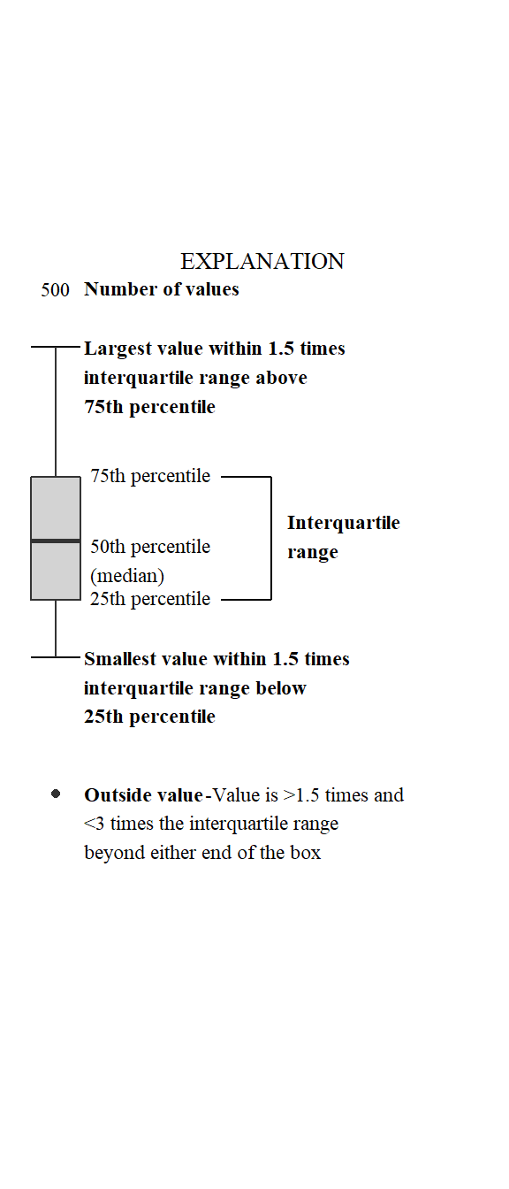
Identifying boxplot limits and styles in ggplot2.
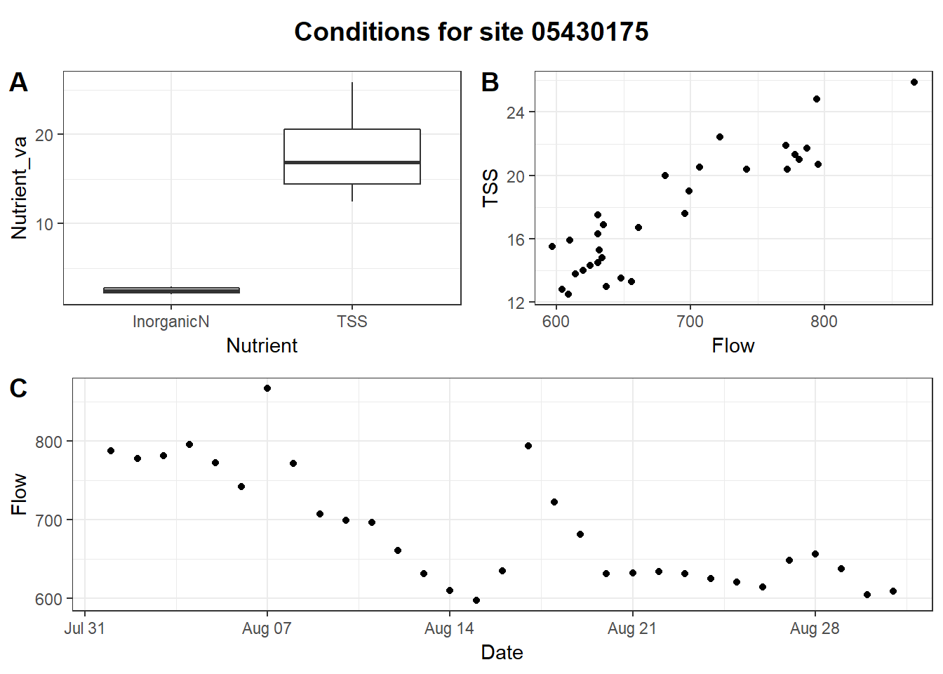
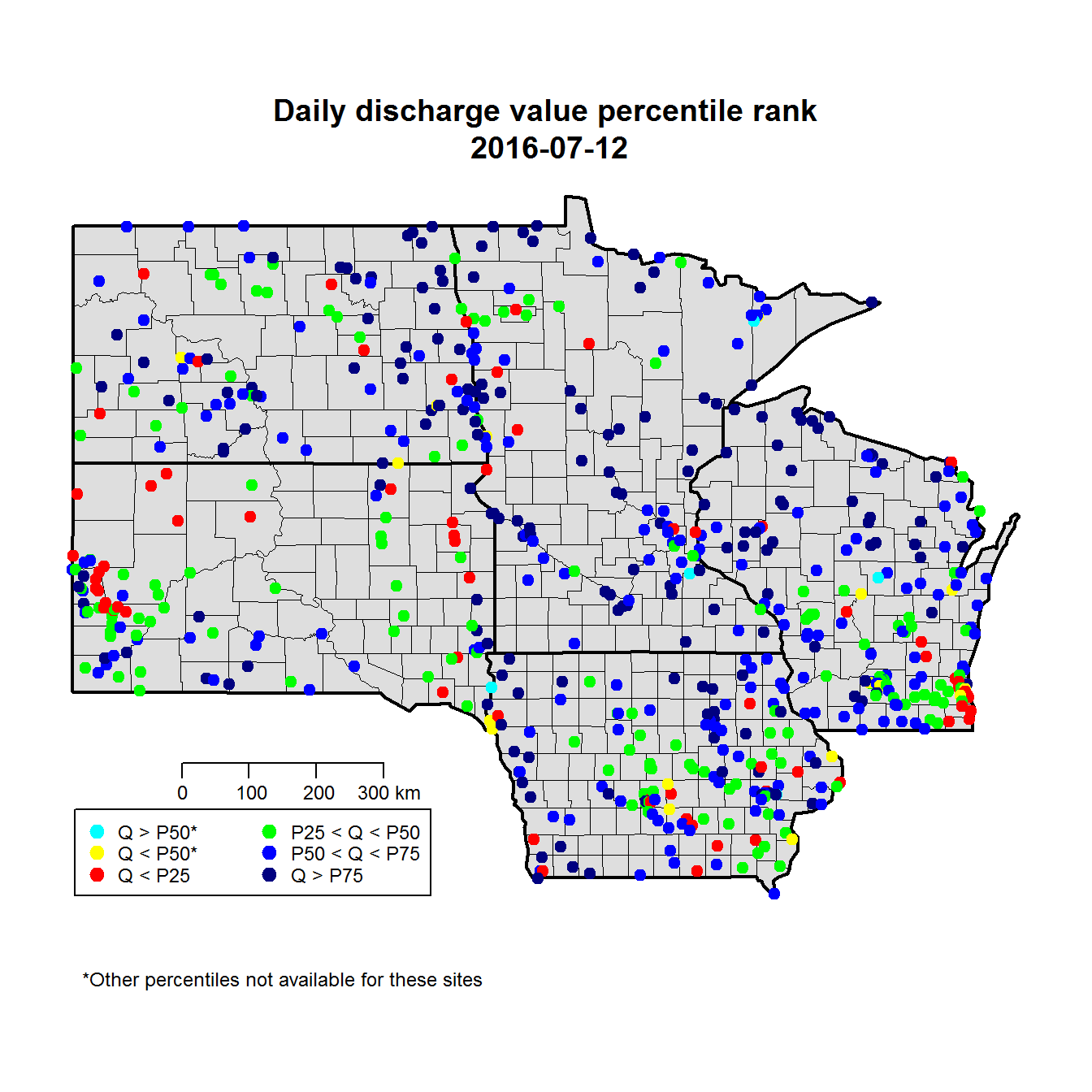
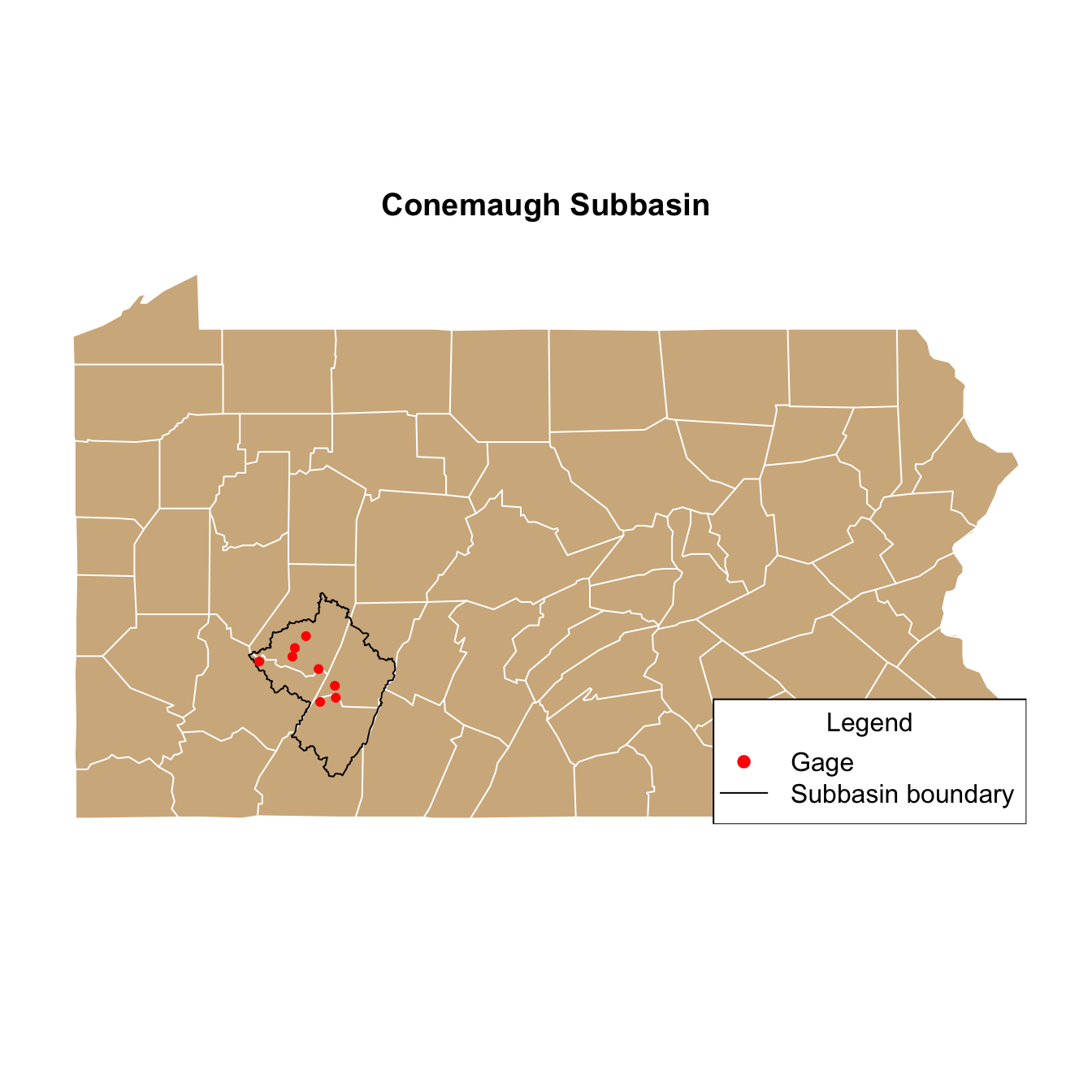
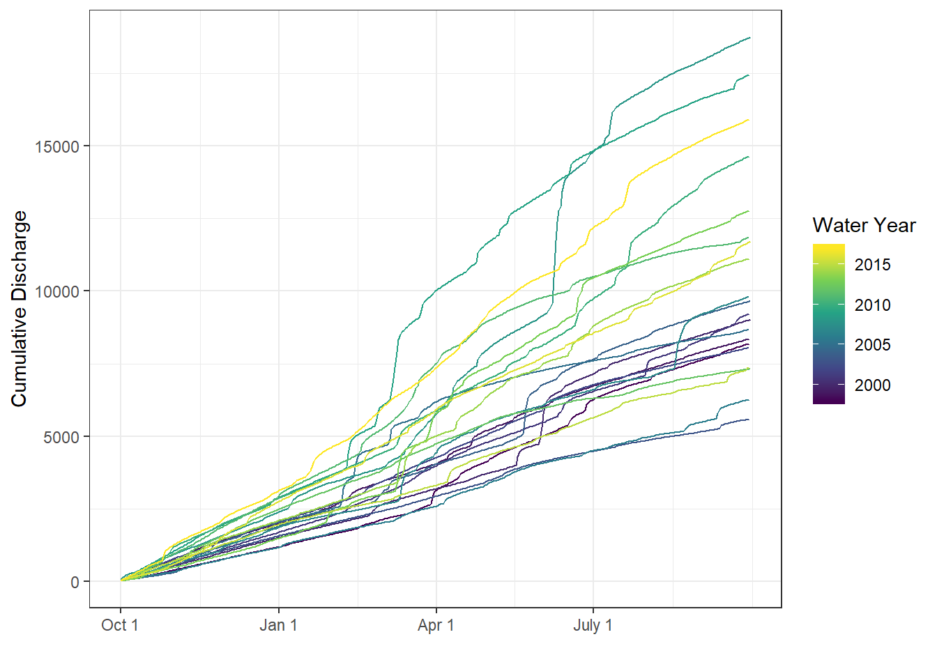
Resources for plotting, plus short examples for using ggplot2 for common use-cases and adding USGS style.
More advanced data munging techniques in R that were not covered in the Intro to R class.
Brief introduction to the series of posts about next steps after learning basic R, plus some tips on best practices for scripting in R.