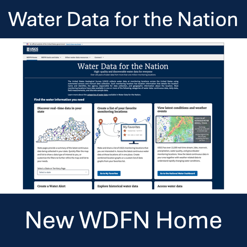
Feature to see current water conditions from all monitoring locations in a state that collect continuous data.
Keywords: data
Feature to maintain a list of monitoring locations you are interested in and to see the latest values of real-time data.
Feature used for better dashboard and device integration, real-time data access (less than 120 days old), and location metadata.
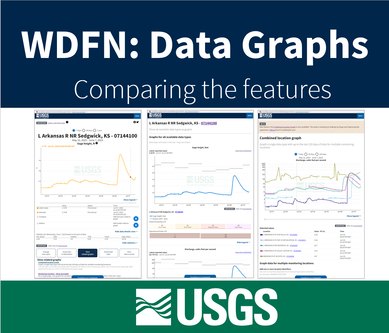
Feature to see a series of graphs of all current sensor data collected at a single location is available now.
Feature used to search and sift through data by locations and data types is coming soon.
Graphing data for 5 locations on a single graph now available on WDFN
Our Next Generation Monitoring Location Pages continue to receive updates based on our priorities and your feedback. Key features in this update include improved controls of the hydrograph and increasing the amount of at-a-glance information.
During the week of October 17th, many links to legacy real-time pages will be redirected to the NextGen monitoring location pages. Legacy pages will be decommissioned in July 2023.
From now until September 30th, 2022, current users of WaterAlert will be able to take 3 simple steps to transfer their alerts to the Next Generation system. Users will receive an email with a unique link to the transition page for their specific alerts. We anticipate this process taking 5 minutes or less for most users.
Have you ever heard of user-centered design? We put our users first in how we design, update, and implement our water data delivery products.