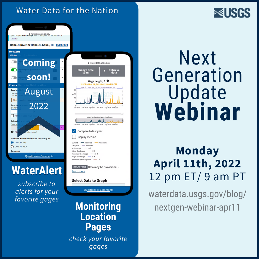
Next Generation Update Webinar | Apr 11
On April 11th, 2022, join our public webinar where we'll provide an update on the Next Generation Monitoring Location Pages and give a live demo of the Next Generation WaterAlert. Wondering what these products are? Read on...
Updated May 9th, 2022
🔑 Key take-aways, post-webinar
During this webinar, we updated users on our anticipated timeline for release of new features on our Monitoring Location Pages.
We also announced that our real-time notification service, WaterAlert, is being modernized . Users will have an opportunity to transfer their alerts from the Legacy system to the Next Generation system during a 2-month transition period that we anticipate to open in summer 2022, likely in June. Users will be notified up to 3 times during the 2-month transition period if they do not take immediate action to transfer their alerts. Next Generation WaterAlert’s anticipated go-live date will be in the fall of 2022, likely in August. If users do not transition their alerts during this 2-month period, their Legacy alerts will permanently disappear when the Legacy system is decommissioned in fall 2022. They will be able to create new alerts in the NextGen system.
🎥 Recording

Join our Next Generation Update Webinar on Monday, April 11th, 2022 at 12 pm ET/ 9 am PT. NextGen Monitoring Location Pages are live now and NextGen WaterAlert is coming soon in August 2022. 👀
❔ What is this webinar about?
USGS has provided water data on the web for decades, and that data is important to many users from recreationalists to critical decision-makers. Some of our data delivery systems are outdated and can no longer be updated. In order for our water data to be effectively used, we have to modernize our systems, so Water Resources Mission Area has been gradually replacing legacy systems. In this webinar, we’ll talk about our modernization process in general, then we’ll dive deeper into the Next Generation Monitoring Location Pages and WaterAlert.
Monitoring Location Pages provide real-time water data to users. Read our blog post about the modernization of legacy current conditions pages into NextGen monitoring location pages.
WaterAlert is a subscription service to real-time notifications of water levels for active gages. Check out our detailed blog post on Next Generation WaterAlert .
P.S. You’ll get a first look at NextGen WaterAlert when Product Owner Randi Butler gives a live demo. 🙌🥳
🕛 When is this webinar?
On Monday, April 11th, 2022 at 12 pm ET/ 9 am PT.
👩🧑 Who is this webinar for?
Anyone who wants to learn more about the modernization of water data display!
📆 How can I register?
Fill out this form . Microsoft Power Automate will send you an email confirmation on our behalf with the link to join the webinar (link is also below). We’ve noticed that Gmail often directs these automated confirmation emails to spam - so be sure to check your spam folder!
Note: You can attend this event without registering by clicking the link below to join the call live on the day of the event.
📞 Where’s the link to join the live call?
Join the webinar by clicking this link .
🙌 With Water Data for the Nation, the USGS is making high-quality water information discoverable, accessible, and usable for everyone.
Related Posts
Redirecting the Next Generation Monitoring Location Pages
October 14, 2022
During the week of October 17th, many links to legacy real-time pages will be redirected to the Next Generation monitoring location pages. This means that bookmarked links to the legacy real-time pages will be redirected automatically to the NextGen monitoring location pages.
Next Generation Monitoring Location Pages Update
May 6, 2022
Last updated August 12th, 2022 On April 11th, we hosted a public webinar during which we updated our stakeholders on the progress of replacing Legacy real-time pages with Next Generation Monitoring Location Pages .
Data Graphs in Water Data for the Nation
June 22, 2023
We have been hard at work designing how to view our water data on graphs in Water Data for the Nation (WDFN). Right now, the primary option is monitoring location pages which have a graph that can look at data over the entire period of record, but this year we’re introducing two additional options to view graphed data!
Water Data for the Nation in 2023
April 19, 2023
What is Water Data for the Nation? Water Data for the Nation (WDFN) is the home for USGS’s modernization of public delivery of water data. USGS water data can be accessed by the public in many ways:
Next Generation Monitoring Location Pages Update
March 8, 2023
We are excited to announce a new release of the Next Gen Monitoring Location Pages! There have been many updates to the way you view and interact with the hydrograph plot.

