
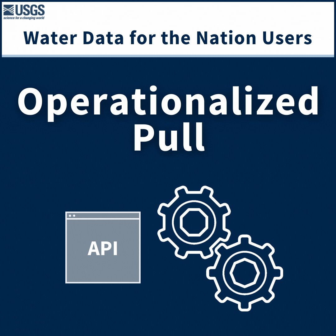
USGS Water Data for the Nation products have many users. Operationalized users access data through automated processes, and they primarily use our APIs. Want to know more about operationalized pull users and our APIs? Read on…
Official websites use .gov
A .gov website belongs to an official government organization in the
United States.
Secure .gov websites use HTTPS
A lock (
) or https:// means you’ve safely connected to the .gov website. Share
sensitive information only on official, secure websites.
USGS Water Data for the Nation products have many users. Operationalized users access data through automated processes, and they primarily use our APIs. Want to know more about operationalized pull users and our APIs? Read on…
USGS Water Data products have many users. Are you one of our users? This post breaks down who uses USGS Water products and what data is available about those users.
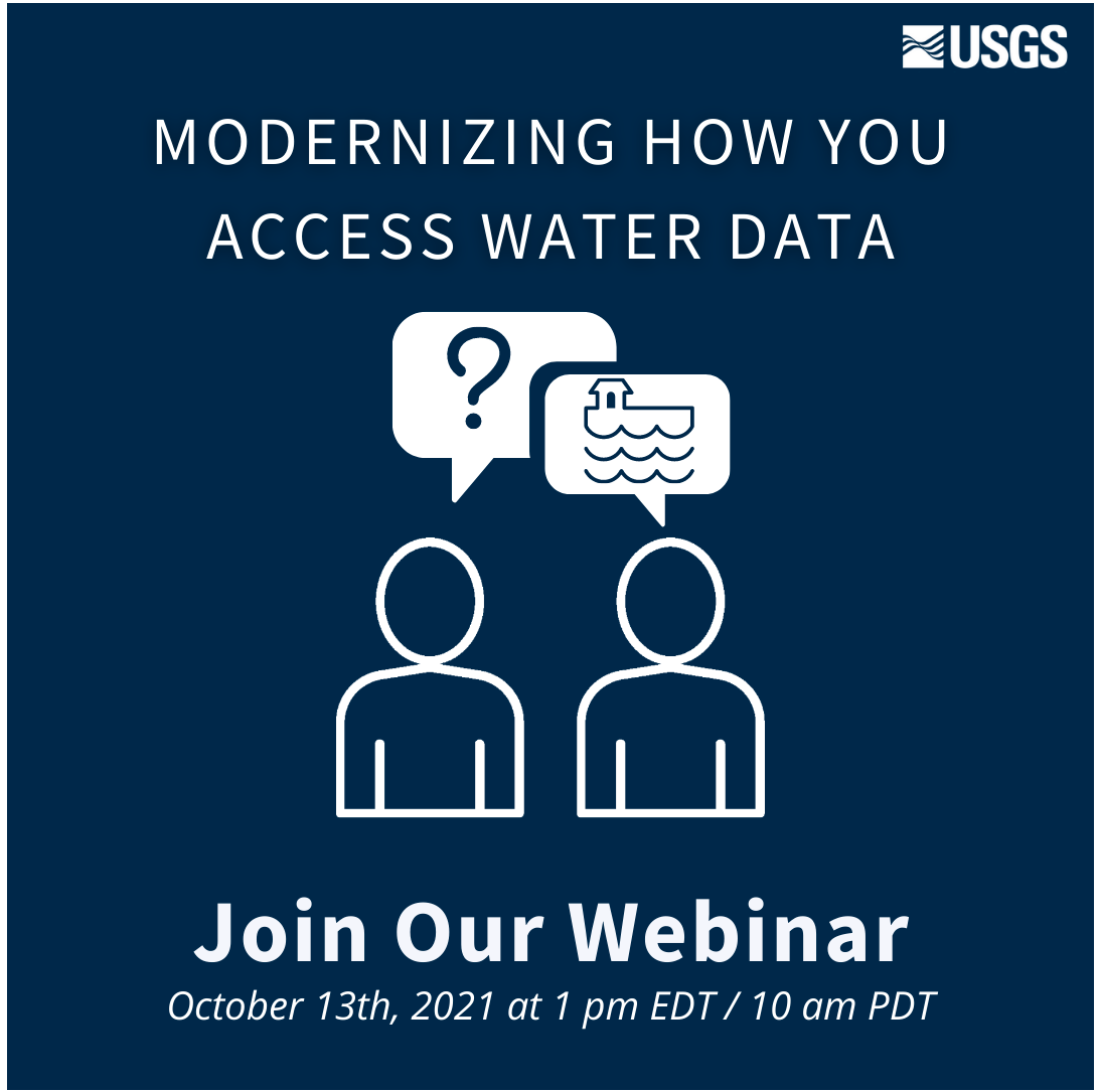
USGS has provided crucial water data online for decades, but the system is outdated, so we’re rebuilding a brand new, modernized system. We’re hosting a webinar to talk about the first release of this new system. Join us for our Teams Live Event on October 13, 2021 at 1 pm EDT/ 10 am PDT.
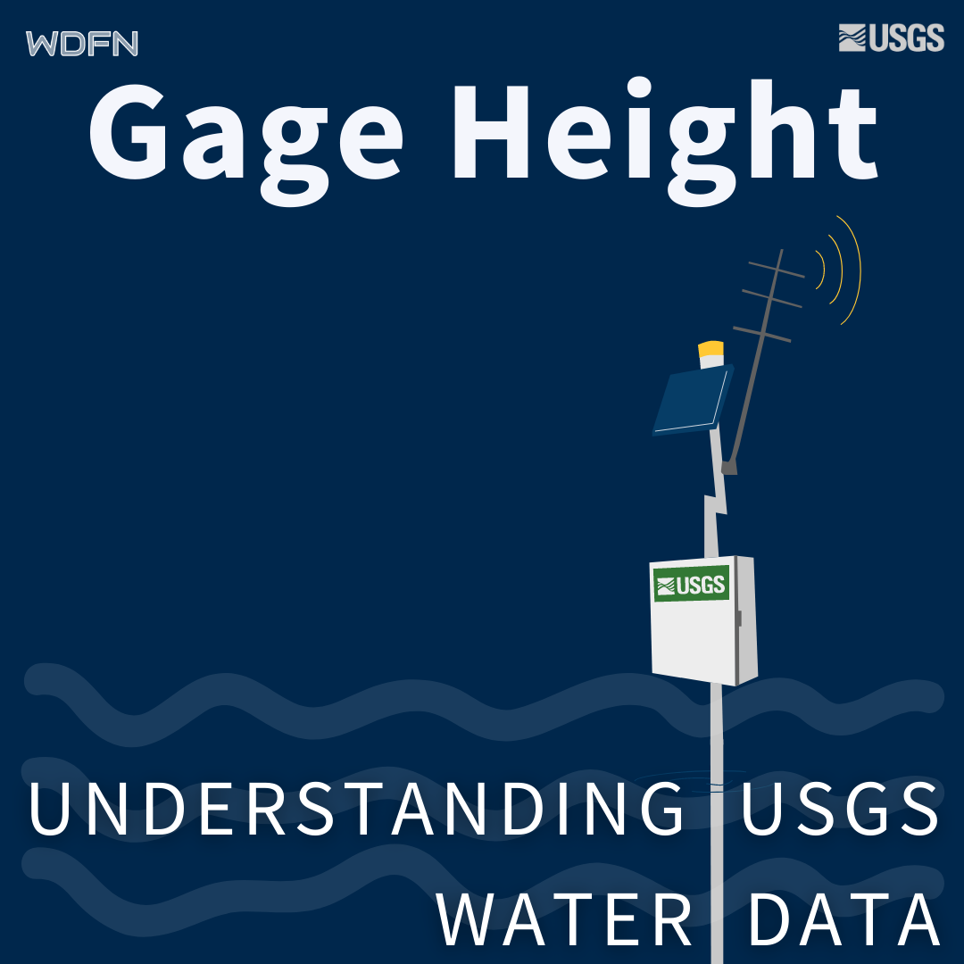
Gage height is used as a default parameter for water availability at streamgages for better user context.
Water data can be masked to help explain gaps in water data availability.
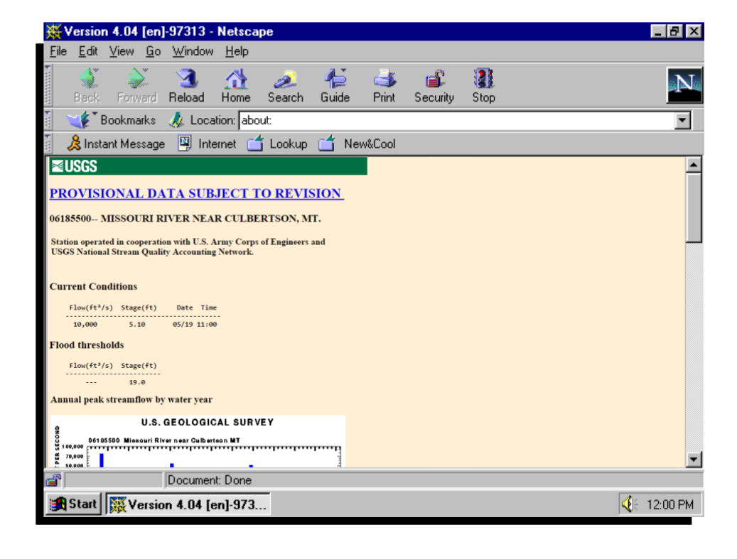
A look back at the beginnings of presenting water data on the web, and a peak at what the USGS is going to be doing in the next 25 years.