PROVISIONAL DATA SUBJECT TO REVISION
Click to hidestation-specific text
Funding for this site is provided by:
 Site Information
LOCATION.--Lat 43°21'48.7", long
76°22'49.4" referenced to North American Datum of
1983, Oswego County, NY, Hydrologic Unit 04140202, in gravel
pit adjacent to Oswego County landfill, near Volney.
WELL CHARACTERISTICS.--Depth 83 ft. Upper casing diameter 2 in; top of first opening 64 ft, bottom of last opening 83 ft. Cased to 64 ft, open hole.
DATUM.--Land-surface datum is 475.07 ft above North American Vertical Datum of 1988. Measuring point: Top of casing, 1.77 ft above land-surface datum, Sep. 21, 2015 to present; Top of collar of protective casing, 2.73 ft above land-surface datum, Sep. 21, 2015 to present.
PERIOD OF RECORD.--September 1999 to current year. Records for September 1999 to September 2002 are unpublished and available in the files of the U.S. Geological Survey.
GAGE.--Water-stage recorder--15 minute; periodic measurements by USGS personnel.
REMARKS.--Satellite water-level telemeter at station.
EXTREMES FOR PERIOD OF RECORD.--Highest water level, 19.46 ft below land-surface datum, Mar. 30, 2007; lowest water level, 24.53 ft below land-surface datum, Oct. 22, 2007.
 WaterAlert – get an
email or text (SMS) alert based on your chosen threshold.
WaterAlert – get an
email or text (SMS) alert based on your chosen threshold.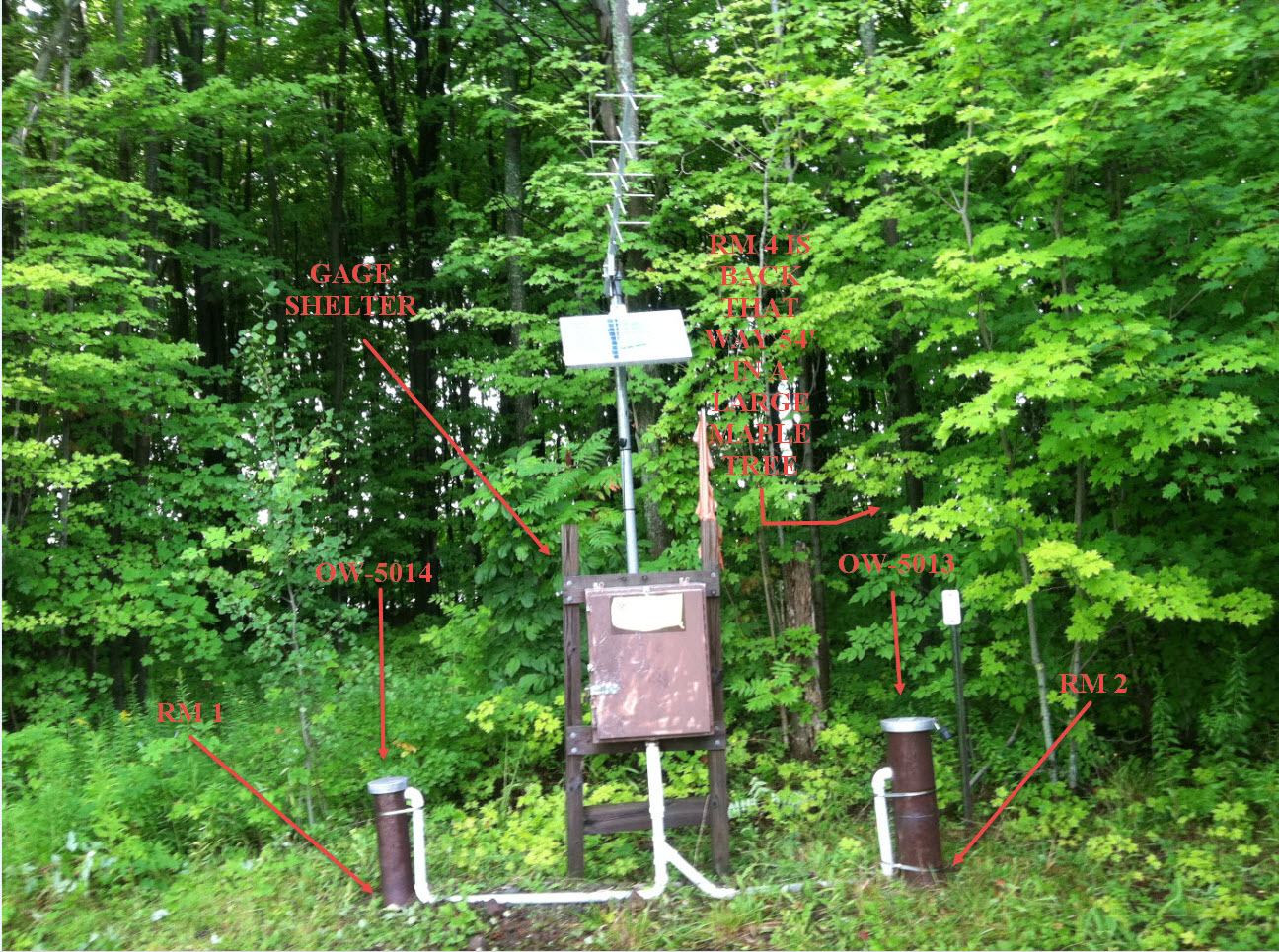 Station image
Summary of all available data for this site
Instantaneous-data availability statement
