PROVISIONAL DATA SUBJECT TO REVISION
Click to hidestation-specific text
Funding for this site is provided by:
 STATION.--400217078281901 BEDFORD COUNTY, local well
number BD 150.
STATION.--400217078281901 BEDFORD COUNTY, local well
number BD 150.LOCATION.--Lat 40`02'15.4", long 78`28'18.9", Hydrologic Unit 02050303, at Bedford.
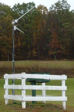
OWNER.--U.S. Geological Survey.
WELL CHARACTERISTICS.--Drilled observation well, diameter 6 in., depth 150 ft, cased to 47 ft, open hole.
INSTRUMENTATION.--Data collection platform with 15-minute recording interval since April 2023; prior, 60-minute recording interval. Satellite telemetry at station.
DATUM.--Elevation of land surface is 1,156 ft above North American Vertical Datum of 1988, from Lidar. Measuring point: Top of instrument shelf, 3.07 ft above land-surface datum. Prior to Oct. 18, 2001, measuring point, top of casing, 3.10 ft above land-surface datum.
PERIOD OF RECORD.--July 1965 to current year.
COOPERATION.--Funding for the operation of this station is provided by the Pennsylvania Department of Environmental Protection and the U.S. Geological Survey.
Summary of all available data for this site
Instantaneous-data availability statement
