PROVISIONAL DATA SUBJECT TO REVISION
Click to hidestation-specific text
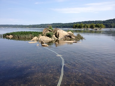
Notice:The established standard operating procedures for instrument maintenance are modified at this site because access to the monitoring equipment may be delayed due to extended periods of elevated river water stage.
LOCATION.--Lat 39°37'33.8", long 76°09'27.9", referenced to North American Datum of 1983,
   Harford County, MD, Hydrologic Unit 02050306.
DRAINAGE AREA.--27,300 mi2, from automated delineation using 30-meter National Elevation Dataset,
   digital elevation model data, dated 2011.
PERIOD OF RECORD.--August 2014 to current year.
GAGE.--Electronic data logger and water-quality monitor. Datum of gage is 9 ft above North
   American Vertical Datum of 1988.
REMARKS.--U.S. Geological Survey water-data telemeter at station.
COOPERATION.--Funding for the operation of this station is provided by the Maryland Department Of Natural
   Resources and the U.S. Geological Survey.
Summary of all available data for this site
Instantaneous-data availability statement