PROVISIONAL DATA SUBJECT TO REVISION
Click to hidestation-specific text
Funding for this site is provided by:
 Site Information
LOCATION.--Lat 42°50'32.7", long
74°53'24.2" referenced to North American Datum of
1983, Otsego County, NY, Hydrologic Unit 02050101, near
Springfield Center.
WELL CHARACTERISTICS.--Depth 364 ft. Upper casing diameter 6 in; top of first opening 19 ft, bottom of last opening 364 ft.
DATUM.--Land-surface datum is 1,449.48 ft above North American Vertical Datum of 1988. Measuring point: Top of casing, 3.54 ft above land-surface datum, Sep. 13, 2019 to present.
PERIOD OF RECORD.--September 2019 to current year.
REVISIONS HISTORY.--The elevation of land-surface datum was revised from 1,450 ft (from topographic map) to 1,449.48 ft above North American Vertical Datum of 1988 on Feb. 1, 2021, based on an updated geodetic survey. Discrete groundwater levels above National Geodetic Vertical Datum of 1929 for the period Sept. 13, 2019 to Nov. 21, 2023 should not be used and were removed on Feb. 26, 2024 because they utilized an inaccurate geodetic datum reference. Discrete groundwater levels above North American Vertical Datum of 1988 for the period Sept. 13, 2019 to Nov. 21, 2023 were revised on Feb. 26, 2024, based on changes to the elevation of land-surface datum.
GAGE.--Water-stage recorder--15 minute; periodic manual measurements by USGS personnel.
EXTREMES FOR PERIOD OF RECORD.--Highest water level recorded, 59.45 ft below land-surface datum, Dec. 18, 2023, but was higher during this event beyond the limits of the transducer; lowest water level, 118.89 ft below land-surface datum, Sept. 28, 2019.
 WaterAlert – get an
email or text (SMS) alert based on your chosen threshold.
WaterAlert – get an
email or text (SMS) alert based on your chosen threshold.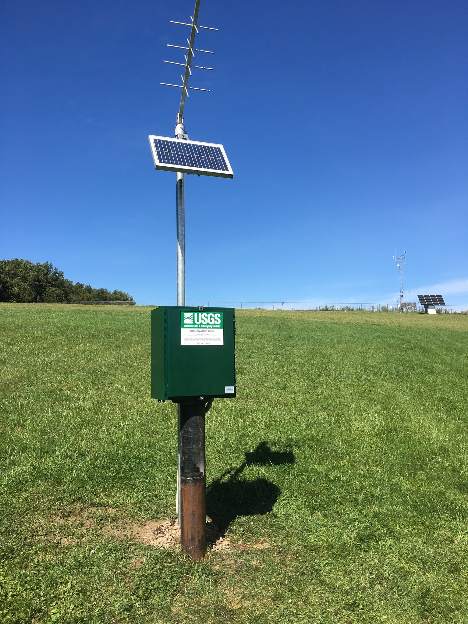 Station image
Instantaneous-data availability statement