PROVISIONAL DATA SUBJECT TO REVISION
Click to hidestation-specific text
Funding for this site is provided by:
 Site Information
LOCATION.--Lat 42°40'23.6", long
76°57'48.1" referenced to North American Datum of
1983, Yates County, NY, Hydrologic Unit 04140201, at
Dresden.
WELL CHARACTERISTICS.--Depth 25 ft. Upper casing diameter 2 in; top of first opening 15 ft, bottom of last opening 29 ft. Well filled in from original depth of 30 ft, cased to 29 ft (screen, 15.6 ft to 29 ft).
DATUM.--Land-surface datum is 599.53 ft above North American Vertical Datum of 1988. Measuring point: 2 marks on top of 2-inch PVC well casing, 1.05 ft above land-surface datum, Mar. 8, 2018 to Jul. 17, 2019; 3 file marks on 6-inch steel collar/cover for the 2-inch PVC well casing, 1.57 ft above land-surface datum, Mar. 8, 2018 to Jul. 17, 2019; 2 marks on top of 2-inch PVC well casing, 1.08 ft above land-surface datum, Jul. 17, 2019 to present; 3 file marks on 6-inch steel collar/cover for the 2-inch PVC well casing, 1.56 ft above land-surface datum, Jul. 17, 2019 to Jun. 24, 2020; 3 file marks on 6-inch steel collar/cover for the 2-inch PVC well casing, 1.57 ft above land-surface datum, Jun. 24, 2020 to present.
PERIOD OF RECORD.--March 2018 to current year.
GAGE.--Water-stage recorder--15 minute; periodic manual measurements by USGS personnel.
REMARKS.--Satellite water-level telemeter at station.
EXTREMES FOR PERIOD OF RECORD.--Highest water level, 1.03 ft below land-surface datum, Aug. 18, 2021; lowest water level, 11.19 ft below land-surface datum, Oct. 26, 27, 2020.
 WaterAlert – get an
email or text (SMS) alert based on your chosen threshold.
WaterAlert – get an
email or text (SMS) alert based on your chosen threshold.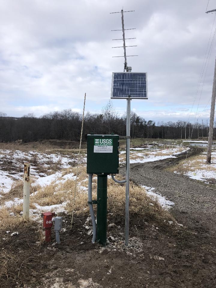 Station image
Instantaneous-data availability statement