PROVISIONAL DATA SUBJECT TO REVISION
Click to hidestation-specific text
Funding for this site is provided by:
 Site Information
LOCATION.--Lat 42°12'17.1", long
79°18'36.7" referenced to North American Datum of
1983, Chautauqua County, NY, Hydrologic Unit 05010002, near
Gerry.
WELL CHARACTERISTICS.--Depth 14.8 ft. Upper casing diameter 2 in; top of first opening 9.8 ft, bottom of last opening 14.8 ft.
DATUM.--Land-surface datum is 1,577.27 ft above North American Vertical Datum of 1988. Measuring point: Top of casing, 2.07 ft above land-surface datum, Jun. 21, 1988 to present.
PERIOD OF RECORD.--April 2015 to current year.
GAGE.--Water-stage recorder--15 minute; periodic measurements made by USGS personnel.
REMARKS.--Satellite water-level telemetry at station.
EXTREMES FOR PERIOD OF RECORD.--Highest water level, 0.88 ft, below land-surface datum, July 1, 2015; lowest water level, 5.59 ft below land-surface datum, Oct. 7, 2023.
 WaterAlert – get an
email or text (SMS) alert based on your chosen threshold.
WaterAlert – get an
email or text (SMS) alert based on your chosen threshold.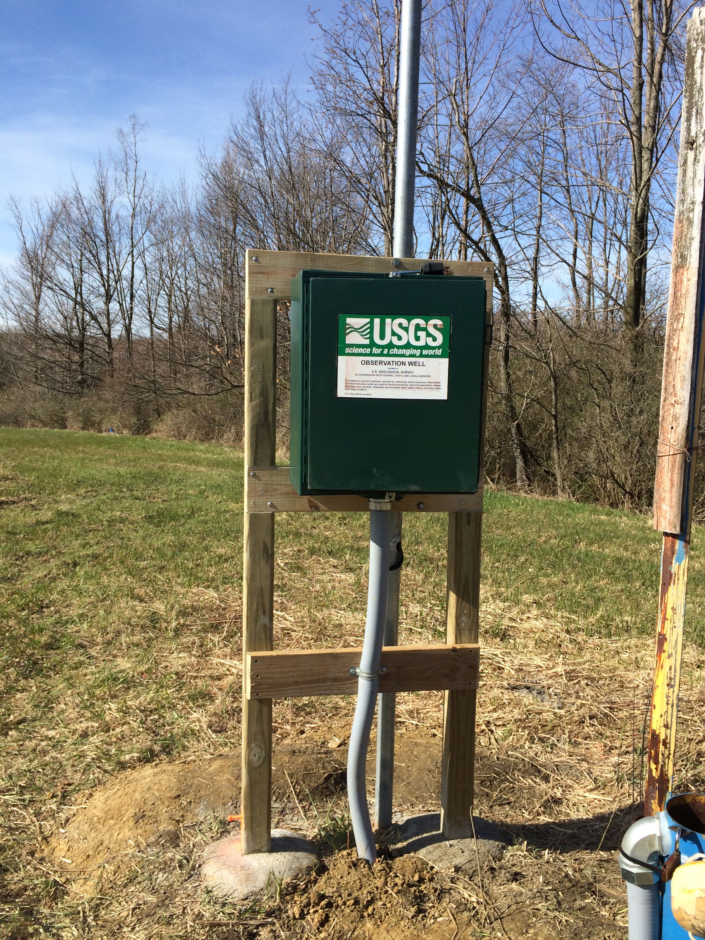 Station image
Summary of all available data for this site
Instantaneous-data availability statement