PROVISIONAL DATA SUBJECT TO REVISION
Click to hidestation-specific text
Funding for this site is provided by:
 STATION.--414333075153201 WAYNE COUNTY, local well
number WN64
STATION.--414333075153201 WAYNE COUNTY, local well
number WN64LOCATION.--Lat 41`43'30.8", long 75`15'30.9", Hydrologic Unit 02040103, at State Game Land Number 159.
OWNER.--U.S. Geological Survey.
AQUIFER.--Sand and gravel of Glacial Outwash of Quaternary age.
WELL CHARACTERISTICS.--Drilled observation well, diameter 6 in., depth 52 ft, cased to 52 ft, open hole.
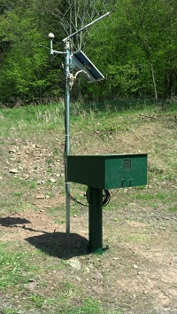
INSTRUMENTATION.--Data collection platform. Satellite telemetry at station.
DATUM.--Elevation of land surface is 1,338 ft above North American Vertical Datum of 1988, from Lidar. Measuring point: Top of plywood shelf, 3.9 ft above land-surface datum. Prior to May 7, 1987, top of plywood cover, measuring point above land-surface datum varied.
REMARKS.--Daily maximum, minimum, and mean water levels since October 1994 are available from the District Office. Daily maximum water-level data collected prior to May 7, 1987 were referenced to an uncertain datum elevation that cannot be related to any datum after that date.
PERIOD OF RECORD.--October 1967 to current year.
COOPERATION.--Funding for the operation of this station is provided by the U.S. Geological Survey.
This gage is monitored as part of the National Groundwater and Streamflow Information Program.
Summary of all available data for this site
Instantaneous-data availability statement