PROVISIONAL DATA SUBJECT TO REVISION
Click to hidestation-specific text
Funding for this site is provided by:
 STATION.--402643075150501 BUCKS COUNTY, local well
number BK929
STATION.--402643075150501 BUCKS COUNTY, local well
number BK929LOCATION.--Lat 40`26'42.4', long 75`15'1.6", Hydrologic Unit 02040105, at Nockamixon State Park.
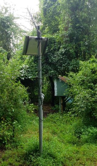
OWNER.--U.S. Geological Survey.
AQUIFER.--Shale of Brunswick Formation of Late Triassic age.
WELL CHARACTERISTICS.--Drilled observation well, diameter 6 in., depth 116 ft, cased to 27 ft, open hole.
INSTRUMENTATION.--Electronic data logger with 15-minute recording interval since April 2023; prior, 60-minute recording interval.
DATUM.--Elevation of land surface is 487 ft above North American Vertical Datum of 1988, from Lidar. Measuring point: Top of plywood shelf, 3.0 ft above land-surface datum. Prior to Mar. 17, 1980, top of casing, 1.05 ft above land-surface datum. Prior to June 1970, land surface datum was approximately 16 feet lower.
REMARKS.--Daily maximum, minimum, and mean water levels since October 1994 are available from the District Office.
PERIOD OF RECORD.--November 1967 to current year.
COOPERATION.--Funding for the operation of this station is provided by the Pennsylvania Department of Environmental Protection and the U.S. Geological Survey.
Summary of all available data for this site
Instantaneous-data availability statement