PROVISIONAL DATA SUBJECT TO REVISION
Click to hidestation-specific text
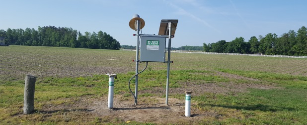 |
LOCATION.---Lat 38°38'37.1", long 75°21'34.6" referenced to North American Datum of 1983, Sussex County, DE,
   Hydrologic Unit 02040303, at southwest corner of U.S. Route 113 (Dupont Boulevard) and Breasure Road.
WELL CHARACTERISTICS.--Depth 49 ft. Upper casing diameter 4 in; top of first opening 46 ft, bottom of last opening 49 ft.
   Drilled, observation, watertable well.
GAGE.--Water-level measurements by U.S. Geological Survey personnel. Equipped with digital water-level recorder, -15- minute
   recording interval, May 2016 to current year. Equipped with graphic water-level recorder from January 1970 to January 1982.
   U.S. Geological Survey satellite data-collection platform at well.
DATUM.---Land-surface datum is 50 ft above National Geodetic Vertical Datum of 1929. Measuring point: Top of casing, 3.00 ft
   above land-surface datum, Jan. 27, 1970, to present.
PERIOD OF RECORD.--January 1970 to April 1993, 1998 to current year.
REMARKS.--Delaware Groundwater-Level Monitoring Network and Climate Response Network observation well.
COOPERATION.--Funding for the operation of this station is provided by the U.S. Geological Survey.
This gage is monitored as part of the National Groundwater and Streamflow Information Program.
Summary of all available data for this site
Instantaneous-data availability statement