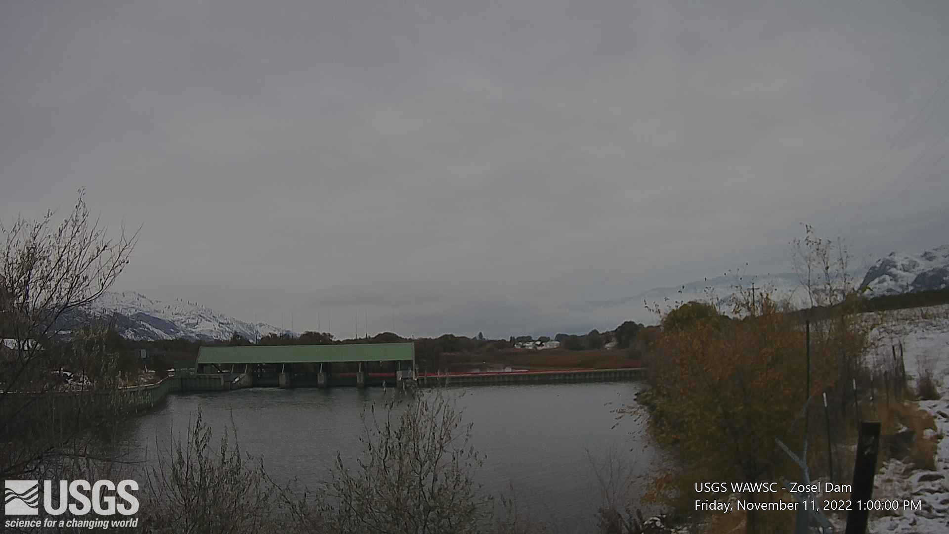
LOCATION.--Latitude 48°57'24", Longitude
119°26'18" (NAD27), Okanogan County, Washington, Oroville
quad., Hydrologic Unit 17020006, on west shore 1.0 mi north of
Oroville, 3.0 mi south of international boundary, and at mile
79.5.
DRAINAGE AREA.--3,132 mi2.
PERIOD OF RECORD.--July 1928 to current year.
GAGE.--Water-stage recorder. Datum of gage is NGVD of 1929. Prior
to Sept. 2, 1928, nonrecording gage, and Sept. 2, 1928, to Nov. 9,
1929, water-stage recorder, 100 ft south of international boundary.
Nov. 10, 1929, to Sept. 7, 1930, Mar. 22, 1952, to Sept. 23, 1953,
June 25, 1955, to Apr. 11, 1956, nonrecording gage, and Sept. 8,
1930, to Mar. 21, 1952, Sept. 24, 1953, to June 24, 1955, Apr. 12,
1956, to Feb. 7, 1969, water-stage recorder, at site 1.0 mi south of
international boundary. All elevations prior to Oct. 1, 1944, at
datum 2.39 ft lower. To convert from present datum to Geodetic Survey
of Canada 1934 datum, subtract 1.63 ft; to convert from present datum
to 1947 joint adjustment of U.S. Coast and Geodetic Survey and
Geodetic Survey of Canada, subtract 0.26 ft.
REMARKS.--Approximately 44,000 acres are irrigated upstream from
station in Canada. Elevation may occasionally be affected by dam at
Zosel's Mill in Oroville and by backwater from the Similkameen
River during extreme high water. U.S. Geological Survey satellite
telemeter at station.
EXTREMES FOR PERIOD OF RECORD.--Maximum elevation, 917.11 ft, June
2, 3, 1972; minimum elevation, 908.82 ft, present datum, Oct. 14,
1929.
EXTREMES OUTSIDE PERIOD OF RECORD.--Flood of May 29, 1894, reached
an elevation of 918.8 ft, plus or minus 0.5 ft, present datum, 1.0 mi
downstream from present lake outlet, from floodmark on old Okanogan
Hotel Building, documented in 1930 from the diary of Mr. and Mrs.
Stansbury, operators of the hotel in 1894.

