LOCATION.--Lat 44°18'34.3", long
73°54'56.5" referenced to North American Datum of
1983, Essex County, NY, Hydrologic Unit is unknown, near Lake
Placid.
WELL CHARACTERISTICS.--Depth 35 ft. Upper casing
diameter 2 in; top of first opening 15 ft, bottom of last
opening 20 ft.
DATUM.--Land-surface datum is 1,640.5 ft above North
American Vertical Datum of 1988. Measuring point: Top of
casing, 3.0 ft above land-surface datum, Dec. 10, 2018 to Nov.
17, 2020; Top of 2-inch PVC casing, 3.49 ft above land-surface
datum, Nov. 17, 2020 to Jul. 20, 2021; Top of 2-inch PVC
casing, 3.5 ft above land-surface datum, Jul. 20, 2021 to
present.
PERIOD OF RECORD.--November 2020 to current year.
GAGE.--Water-stage recorder--15 minute; periodic manual
measurements by USGS personnel.
EXTREMES FOR PERIOD OF RECORD.--Highest water level,
4.13 ft below land-surface datum, Dec. 18, 2023; lowest water
level, 10.64 ft below land-surface datum, Oct. 16, 2021.
 Site Information
 WaterAlert – get an
email or text (SMS) alert based on your chosen threshold.
WaterAlert – get an
email or text (SMS) alert based on your chosen threshold.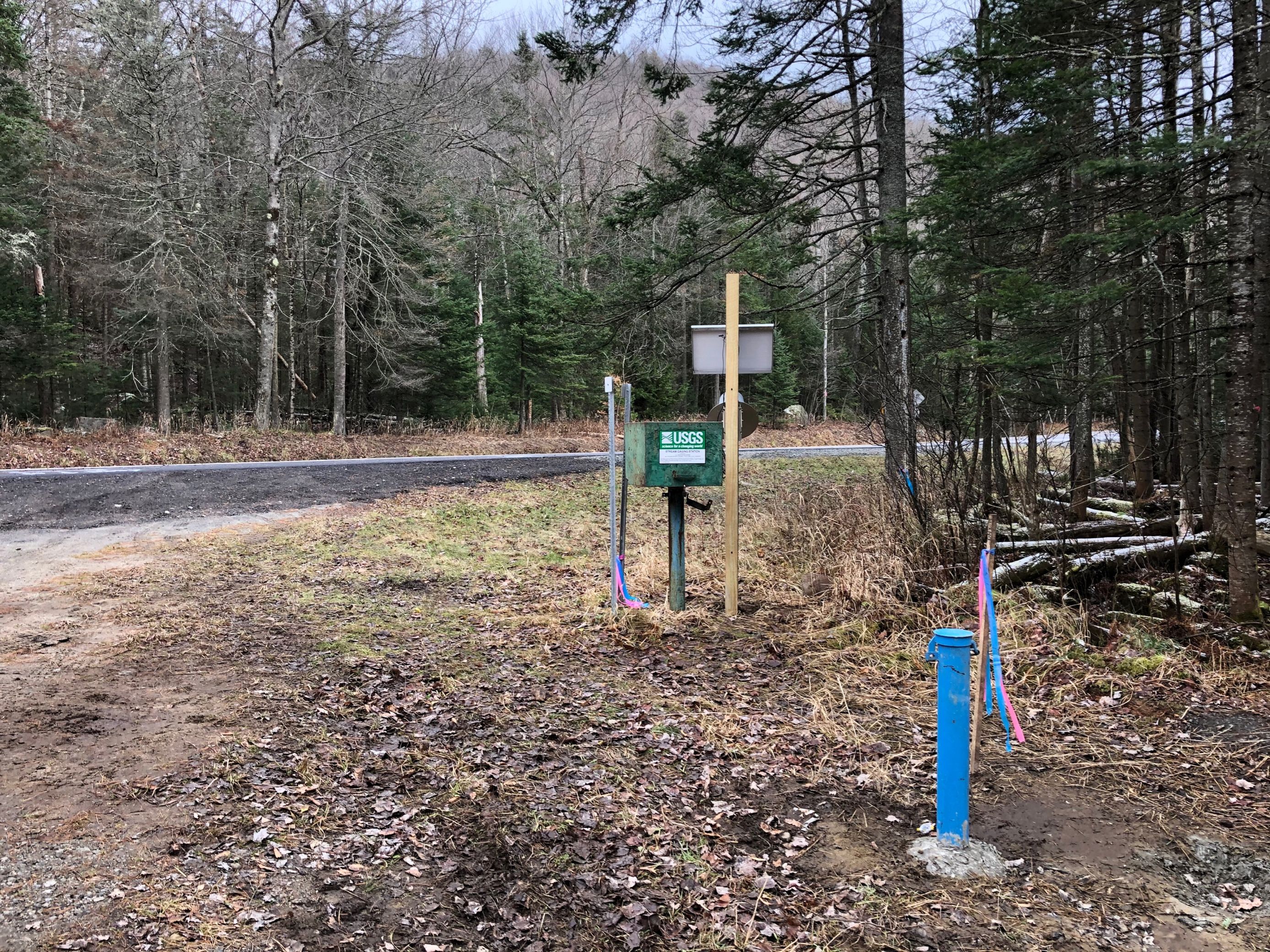 Station image