LOCATION.--Lat 43°03'27.4", long
73°47'51.1" referenced to North American Datum of
1983, Saratoga County, NY, Hydrologic Unit 02020003, at
Saratoga Springs.
WELL CHARACTERISTICS.--Depth 290 ft. Upper casing
diameter 6 in; top of first opening 190 ft, bottom of last
opening 270 ft. Cased to 189 ft, open hole. Elevation of
land-surface datum is 306.31 ft above NGVD of 1929 and 305.75
ft above NAVD 1988.
DATUM.--Land-surface datum is 305.75 ft above North
American Vertical Datum of 1988. Measuring point: Top of
casing, 2.31 ft above land-surface datum, Jun. 1, 1978 to Apr.
26, 2016; Top of shelter shelf, 2.56 ft above land-surface
datum, Apr. 27, 2016 to Nov. 4, 2018; Top of shelter shelf,
2.37 ft above land-surface datum, Nov. 5, 2018 to present.
PERIOD OF RECORD.--May 1949 to November 1961, August
1964 to August 1995, October 2006 to current year.
GAGE.--Water-stage recorder--15 minute; periodic manual
measurements by USGS personnel.
REMARKS.--Water level affected by earthquakes and
apparent pumping. In Oct. 2006, it was determined the well
casing had been settling from Nov. 16, 1973, through Aug. 1995.
A .01 ft to 1.02 ft correction was prorated for that period to
correct the water-level data. This prorated correction should
be applied to the previously published record. Satellite
water-level telemeter at station.
EXTREMES FOR PERIOD OF RECORD.--Highest water level,
38.04 ft below land-surface datum, Dec. 25, 2020; lowest water
level, 56.20 ft below land-surface datum, July 29, 1949.
 Site Information
 WaterAlert – get an
email or text (SMS) alert based on your chosen threshold.
WaterAlert – get an
email or text (SMS) alert based on your chosen threshold.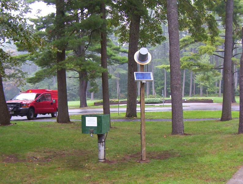 Station image