LOCATION.--Lat 42°58'38.7", long
77°13'42.8" referenced to North American Datum of
1983, Ontario County, NY, Hydrologic Unit 04140201, at New York
State Thruway Interchange 43, near Manchester.
WELL CHARACTERISTICS.--Depth 139 ft. Upper casing
diameter 6 in; top of first opening 11 ft, bottom of last
opening 139 ft. Cased to 11 ft, open hole. Elevation of
land-surface datum is 556.70 ft above NGVD of 1929 and 556.16
ft above NAVD of 1988.
DATUM.--Land-surface datum is 556.16 ft above North
American Vertical Datum of 1988. Measuring point: Top of
shelter shelf, 11.71 ft above land-surface datum, Oct. 12, 2016
to Sep. 28, 2022; Top of shelter shelf, 11.7 ft above
land-surface datum, Sep. 28, 2022 to present.
PERIOD OF RECORD.--May 1955 to August 1995 and October
2002 to current year.
REVISIONS HISTORY.-- The 2007 water year was
revised on March 15, 2008.
GAGE.--Water-stage recorder--15 minute; periodic
measurements by USGS personnel.
REMARKS.--When drilled in 1955, this was an artesian
well. Many water levels recorded were above land-surface datum
from May 1955 to June 2007. Water in well casing above land
surface datum was subject to freezing during extreme cold
periods. Sometime between June and August 2007, a distinct and
apparently permanent lowering of water levels in the well
casing occurred, caused by unknown reasons. Satellite
water-level telemeter at station.
EXTREMES FOR PERIOD OF RECORD.--Highest water level
measured prior to June 2007 lowering of water levels, 11.14 ft
above land-surface datum, Mar. 15, 1976; lowest water level
recorded, 4.44 ft above land-surface datum, Oct. 28, 1991.
Highest water level since June 2007, 1.22 ft below land-surface
datum, Apr. 26, 2011; lowest water level, 4.99 ft below
land-surface datum, Sept. 29, 2016.
 Site Information
 WaterAlert – get an
email or text (SMS) alert based on your chosen threshold.
WaterAlert – get an
email or text (SMS) alert based on your chosen threshold.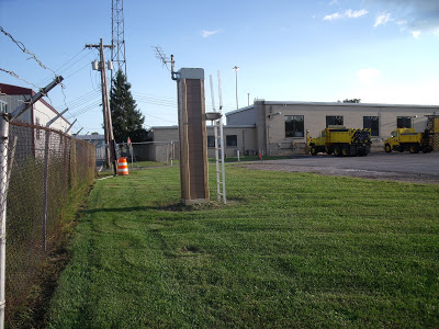 Station image