LOCATION.--Lat 42°48'59", long
73°58'55" referenced to North American Datum of 1983,
Schenectady County, NY, Hydrologic Unit 02020004, at
Schenectady.
WELL CHARACTERISTICS.--Depth 25 ft. Upper casing
diameter 4 in; top of first opening undefined, bottom of last
opening undefined. Well filled in from original depth of 27.6
ft, cased to unknown depth (screen at bottom).
DATUM.--Land-surface datum is 220.12 ft above North
American Vertical Datum of 1988. Measuring point: Top of steel
casing, 3.58 ft above land-surface datum, Jul. 7, 2016 to
present.
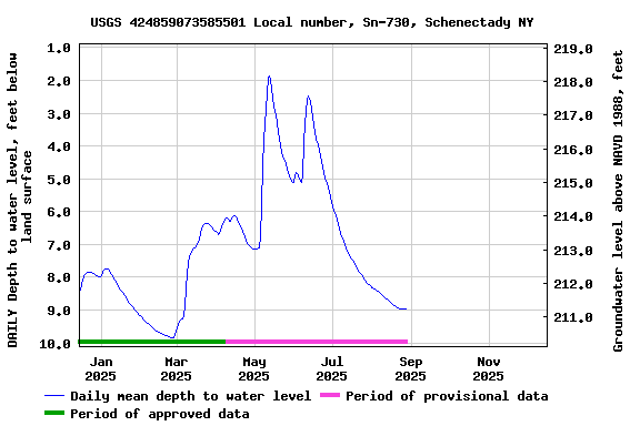
PERIOD OF RECORD.--April 2004 to current year.
GAGE.--Water-stage recorder--15 minute; periodic manual
measurements by USGS personnel.
REMARKS.--Satellite water-level telemeter at
station.
EXTREMES FOR PERIOD OF RECORD.--Highest water level,
0.01 ft above land-surface datum, Sept. 10, 2011; lowest water
level, 9.83 ft below land-surface datum, Nov. 26, 2024.
 Site Information
 WaterAlert – get an
email or text (SMS) alert based on your chosen threshold.
WaterAlert – get an
email or text (SMS) alert based on your chosen threshold.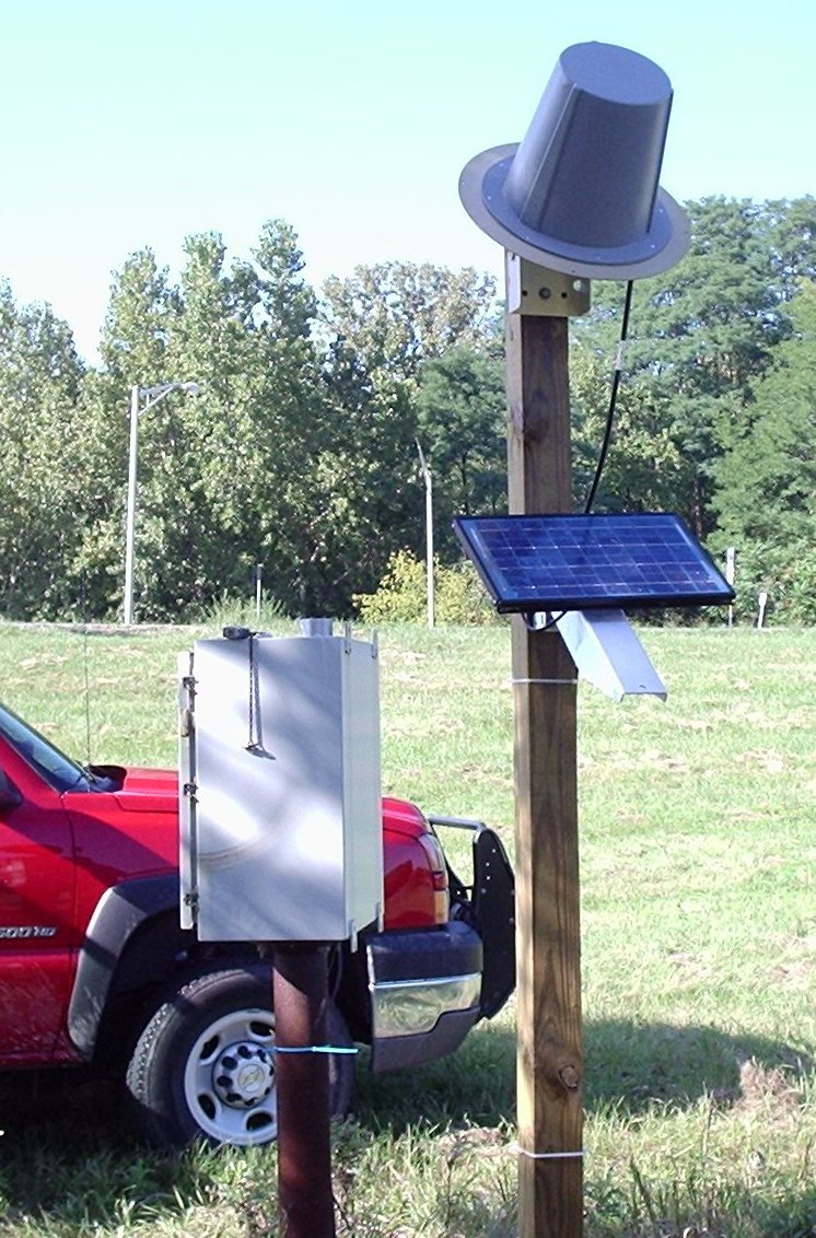 Station image