LOCATION.--Lat 42°45'59.4", long
74°27'49.4" referenced to North American Datum of
1983, Schoharie County, NY, Hydrologic Unit 02020004, at
Carlisle.
WELL CHARACTERISTICS.--Depth 74 ft. Upper casing
diameter 6 in; top of first opening 48.5 ft, bottom of last
opening 74 ft.
DATUM.--Land-surface datum is 1,246.2 ft above North
American Vertical Datum of 1988. Measuring point: Top of
shelter shelf, 1.74 ft above land-surface datum, Jun. 2, 2017
to Jan. 14, 2020; Top of shelter shelf, 1.73 ft above
land-surface datum, Jan. 14, 2020 to Oct. 20, 2020; Top of
shelter shelf, 1.74 ft above land-surface datum, Oct. 20, 2020
to present.
PERIOD OF RECORD.--June 2017 to current year.
GAGE.--Water-stage recorder--15 minute; periodic manual
measurements by USGS personnel.
REMARKS.--Satellite water-level telemeter at
station.
EXTREMES FOR PERIOD OF RECORD.--Highest water level,
26.54 ft below land-surface datum, Apr. 3, 4, 2023; lowest
water level, 35.89 ft below land-surface datum, Oct. 29,
2017.
 Site Information
 WaterAlert – get an
email or text (SMS) alert based on your chosen threshold.
WaterAlert – get an
email or text (SMS) alert based on your chosen threshold.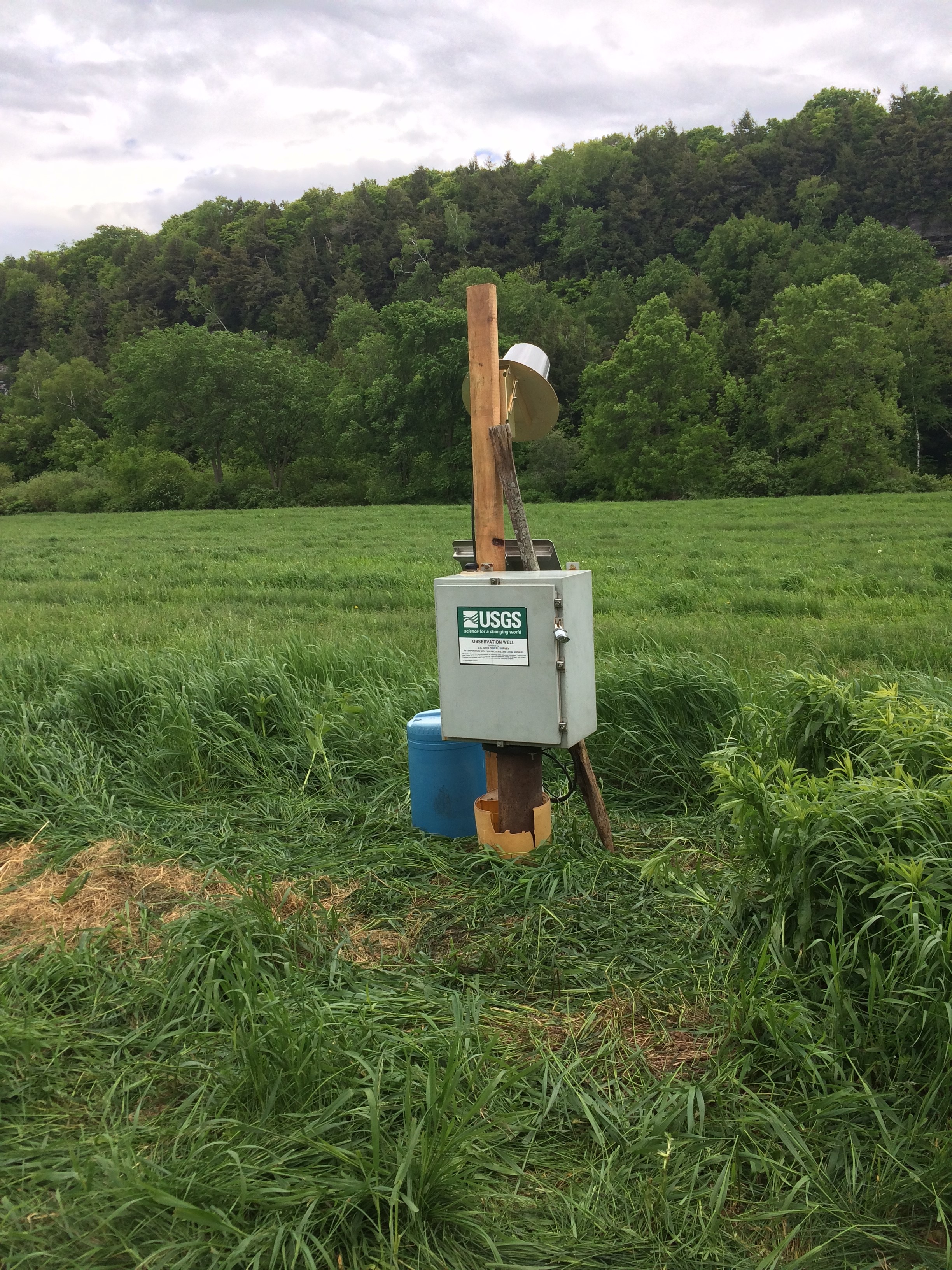 Station image