LOCATION.--Lat 42°06'19.3", long
76°51'59.3" referenced to North American Datum of
1983, Chemung County, NY, Hydrologic Unit 02050105, near
Elmira.
WELL CHARACTERISTICS.--Depth 160 ft. Upper casing
diameter 6 in; top of first opening 17.9 ft, bottom of last
opening 160 ft.
DATUM.--Land-surface datum is 1,501.5 ft above North
American Vertical Datum of 1988. Measuring point: 3 file marks
on shelter shelf, 4.19 ft above land-surface datum, Mar. 1,
2018 to Jun. 13, 2019; 3 file marks on shelter shelf, 4.17 ft
above land-surface datum, Jun. 13, 2019 to Jul. 7, 2020; 3 file
marks on shelter shelf, 4.16 ft above land-surface datum, Jul.
7, 2020 to Jul. 1, 2024; 3 file marks on shelter shelf, 4.18 ft
above land-surface datum, Jul. 1, 2024 to present.
PERIOD OF RECORD.--March 2018 to current year.
GAGE.--Water-stage recorder--15 minute; periodic manual
measurements by USGS personnel.
REMARKS.--Satellite water-level telemeter at station.
Water level affected by stage of Elmira Reservoir.
EXTREMES FOR PERIOD OF RECORD.--Highest water level,
20.18 ft below land-surface datum, May 10, 2025; lowest water
level, 38.23 ft below land-surface datum, Aug. 10, 2020.
 Site Information
 WaterAlert – get an
email or text (SMS) alert based on your chosen threshold.
WaterAlert – get an
email or text (SMS) alert based on your chosen threshold.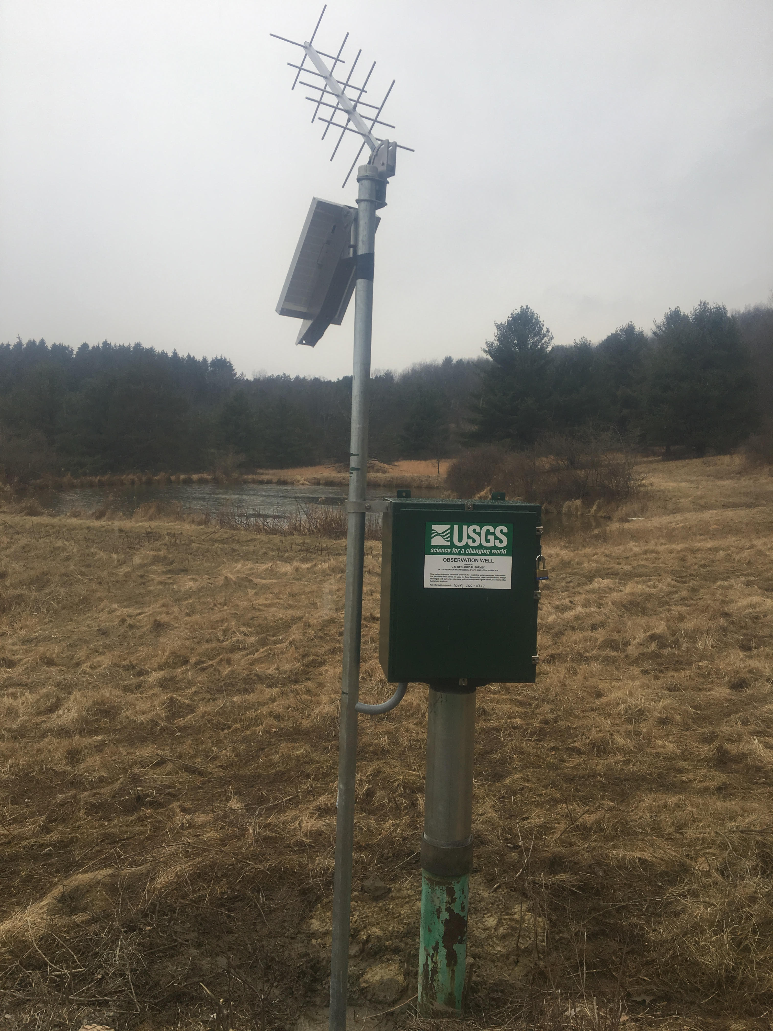 Station image