LOCATION.--Lat 41°47'37", long
73°56'33" referenced to North American Datum of 1927,
Dutchess County, NY, Hydrologic Unit 02020008, near Hyde
Park.
WELL CHARACTERISTICS.--Depth 126 ft. Upper casing
diameter 6 in; top of first opening 76 ft, bottom of last
opening 125 ft. Cased to 75 ft, open hole.
DATUM.--Land-surface datum is 168.97 ft above North
American Vertical Datum of 1988. Measuring point: Top of
extended casing, 3.22 ft above land-surface datum, Oct. 6, 2011
to present; Top of shelter shelf, 3.44 ft above land-surface
datum, May. 31, 2016 to present.
PERIOD OF RECORD.--October 1948 to April 1950, April
1953 to September 1997, February 2004 to current year.
REVISIONS HISTORY.--2016: 2014-16.
GAGE.--Water-stage recorder--15 minute; periodic manual
measurements by USGS personnel.
REMARKS.--Water level responds to semidiurnal earth
tides (approximately 0.05 ft). The wrong measuring point value
was used from August 2014 to July 2016. A -.22 ft correction
was applied to all published record for that time period.
Satellite water-level telemeter at station.
EXTREMES FOR PERIOD OF RECORD.--Highest water level,
64.51 ft below land-surface datum, Apr. 5, 2024; lowest water
level, 73.85 ft below land-surface datum, Sept. 13, 1966.
 Site Information
 WaterAlert – get an
email or text (SMS) alert based on your chosen threshold.
WaterAlert – get an
email or text (SMS) alert based on your chosen threshold.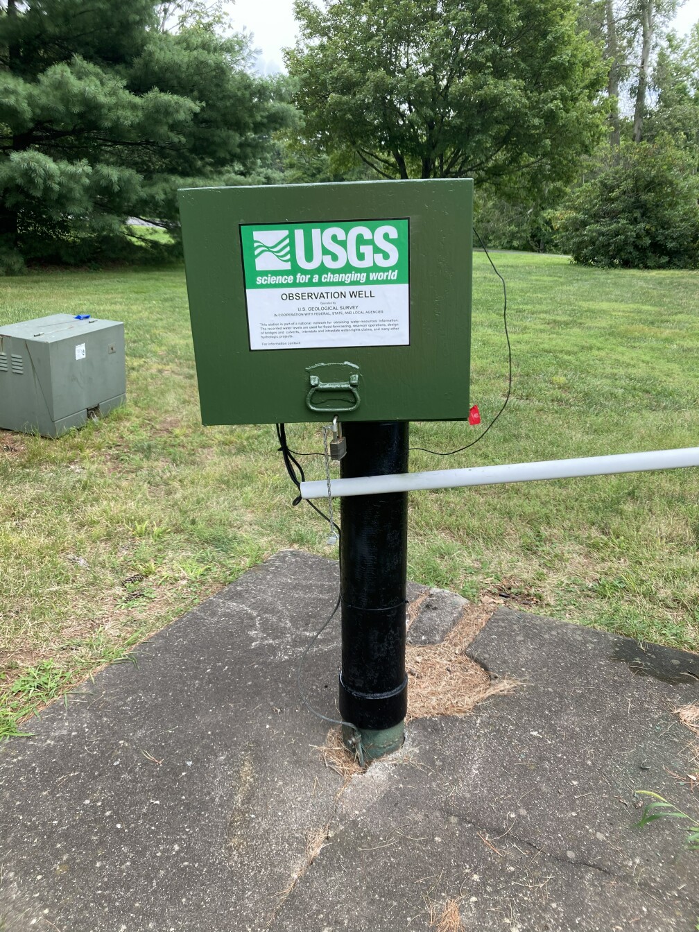 Station image