Funding for this site is provided by:
 STATION.
--410123075425401 CARBON COUNTY, local well
number CB104
LOCATION.--Lat 41`01'23.5", long
75`43'06.5", Hydrologic Unit 02040106, at Hickory Run State
Park.
OWNER.--U.S. Geological Survey.
AQUIFER.--Shale of Lower Member of Mauch Chunk
Formation of Late Mississippian age.
WELL CHARACTERISTICS.---Drilled observation well,
diameter 6 in., depth 125 ft, cased to 20 ft, open hole.
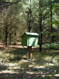
INSTRUMENTATION.--Data collection platform. Satellite
telemetry at station.
DATUM.--Elevation of land surface is l,294 ft above
North American Vertical Datum of 1988 from Lidar. Measuring point: Top
of plywood shelf, 3.1 ft above land-surface datum. Prior to May 28,
1980, top of casing 3.00 ft above land-surface datum.
REMARKS.--Daily maximum, minimum, and mean water
levels since October 1994 are available from the District Office.
PERIOD OF RECORD.--September 1969 to current
year.
COOPERATION.--Funding for the operation of this
station is provided by the U.S. Geological Survey.
This gage is monitored as part of the
National Groundwater and Streamflow
Information Program.
