PROVISIONAL DATA SUBJECT TO REVISION
Click to hidestation-specific text
Funding for this site is provided by:
 STATION.--01575585 CODORUS CREEK AT PLEASUREVILLE,
PA
STATION.--01575585 CODORUS CREEK AT PLEASUREVILLE,
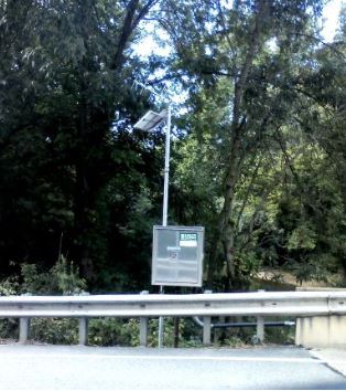
PALOCATION.--Lat 40`01'07", long 76`41'36", York County, Hydrologic Unit, 02050306, on right bank at upstream side of Sherman Street bridge on State Highway 24, 1.0 mi northeast of Pleasureville, 2.0 mi upstream from Dee Run and 5.0 mi upstream from mouth.
DRAINAGE AREA.--267 square miles.
PERIOD OF RECORD.--October 1984 to September 1989; October 2012 to November 2021.
GAGE.--Water-stage recorder and crest-stage gage. Datum of gage is 330 ft above National Geodetic Vertical Datum of 1929, from topographic map. Satellite telemetry at station.
COOPERATION.--Station established and maintained by the U.S. Geological Survey in cooperation with the U.S. Environmental Protection Agency.
GAGE HEIGHTS OF IMPORTANCE.--
REMARKS.--Flow regulated by Lake Marburg (01574390) Indian Rock Dam (01574700), Lake Williams and Lake Redmond; combined capacity 65,650 acre-ft. Regulation at low flow by mills and pumping station York Water Company on South Branch Codorus Creek.
Supplied by USGS-- Data transmitter operational limit - 18.3 ft.
Summary of all available data for this site
Instantaneous-data availability statement