USGS has provided crucial water data online for decades, but the system is outdated, so we’re rebuilding a brand new, modernized system. We’re hosting a webinar to talk about the first release of this new system. Join us for our Teams Live Event on October 13, 2021 at 1 pm EDT/ 10 am PDT.
Keywords: water
All your commonly asked questions about the modernization of NWISWeb’s real-time pages to WDFN’s Next Generation Monitoring Location pages.
Learn how to use WDFN’s Next Generation Monitoring Location Pages.
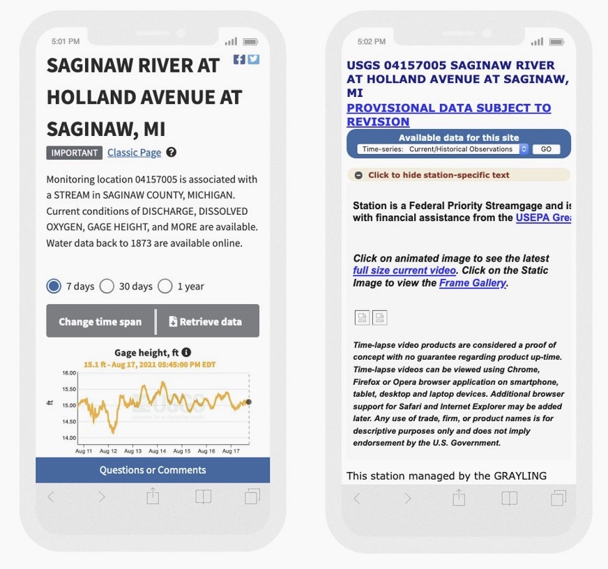
NWISWeb is our legacy water data delivery system. Over the next few years, Water Data for the Nation (WDFN) will slowly replace NWISWeb. We’re modernizing one room at a time, and we’ve started with the legacy real-time current conditions pages, now known as Next Generation Monitoring Location Pages.
Gage height is used as a default parameter for water availability at streamgages for better user context.
Water data can be masked to help explain gaps in water data availability.