
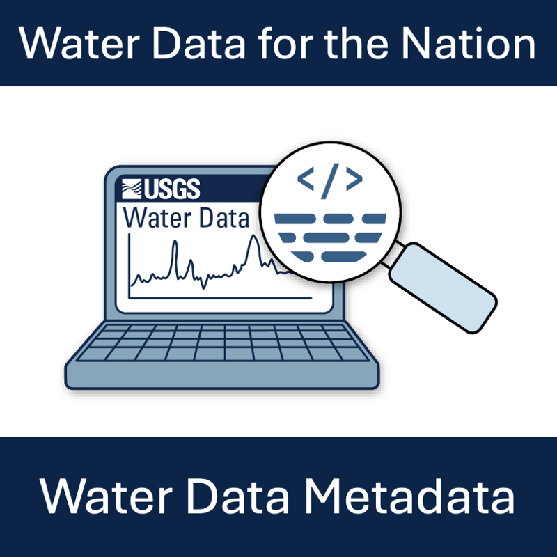
Metadata are crucial to interpreting and understanding USGS water data. With the modernization of WDFN, we are changing the way you access and explore USGS water data metadata.
Official websites use .gov
A .gov website belongs to an official government organization in the
United States.
Secure .gov websites use HTTPS
A lock (
) or https:// means you’ve safely connected to the .gov website. Share
sensitive information only on official, secure websites.
Metadata are crucial to interpreting and understanding USGS water data. With the modernization of WDFN, we are changing the way you access and explore USGS water data metadata.
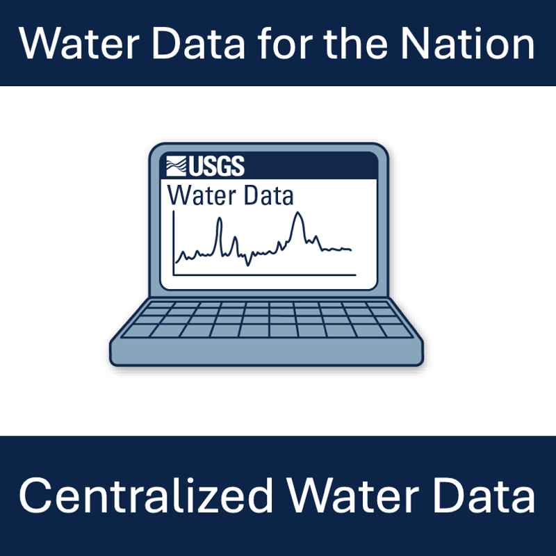
Water Data for the Nation (WDFN) is being modernized to simplify our data delivery and enable all data collection categories to be found from the same pages and tools. This post will orient you to where to find water data in the modernized WDFN.
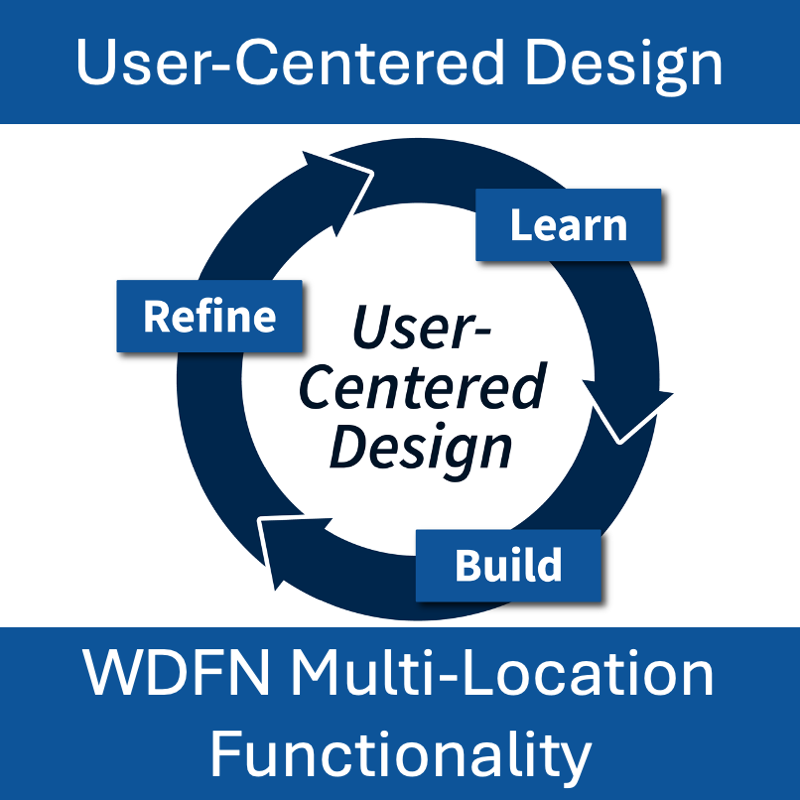
This blog post demonstrates how we used the core principles of user-centered design, “learn,” “build,” and “refine” to modernize Water Data for the Nation (WDFN)
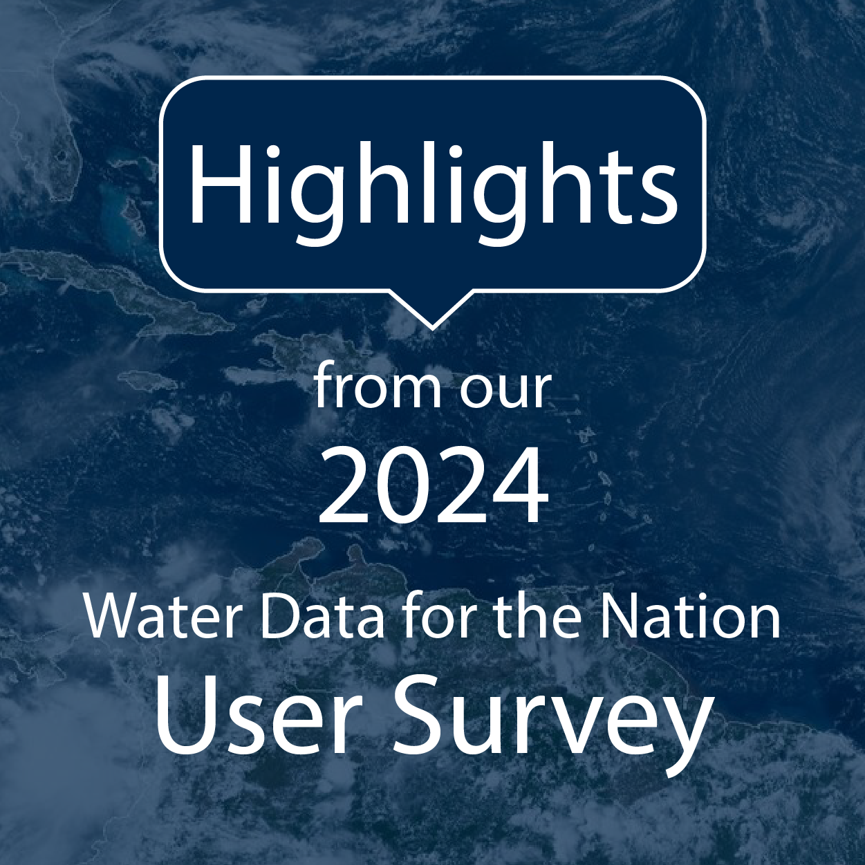
In 2024, we asked our users for feedback. This is what we found.
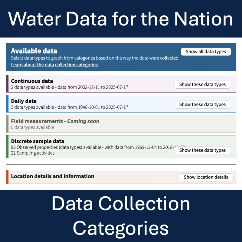
We’ve made changes to the Monitoring Location Page (MLP) to make all kinds of water data accessible from the same place in WDFN.
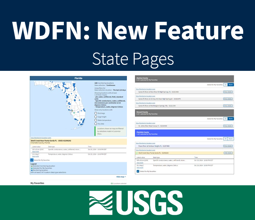
Feature to see current water conditions from all monitoring locations in a state that collect continuous data.
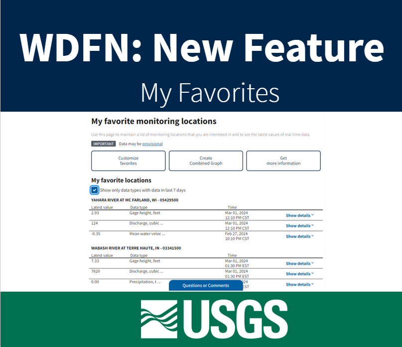
Feature to maintain a list of monitoring locations you are interested in and to see the latest values of real-time data.
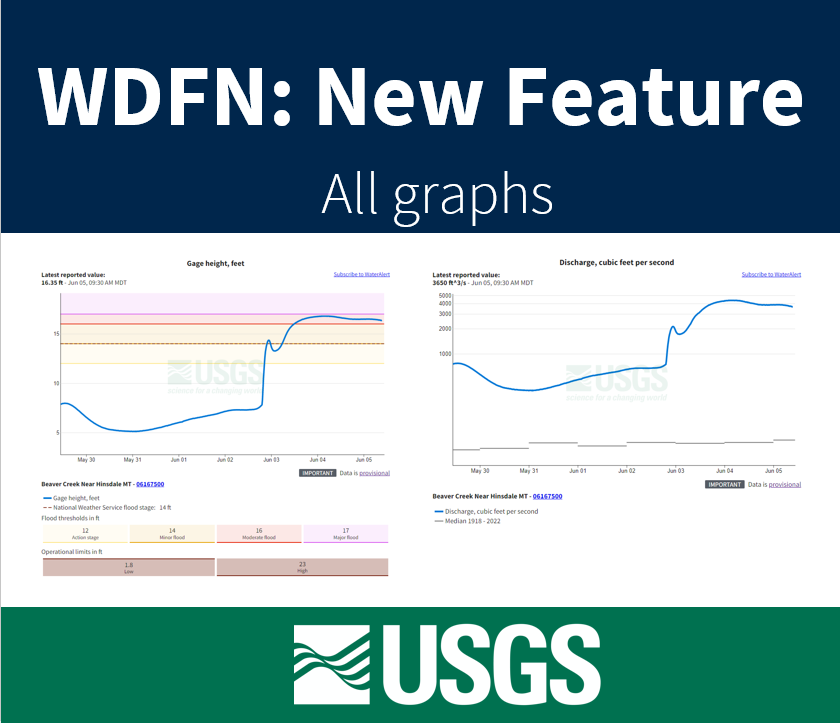
Feature to see a series of graphs of all current sensor data collected at a single location is available now.
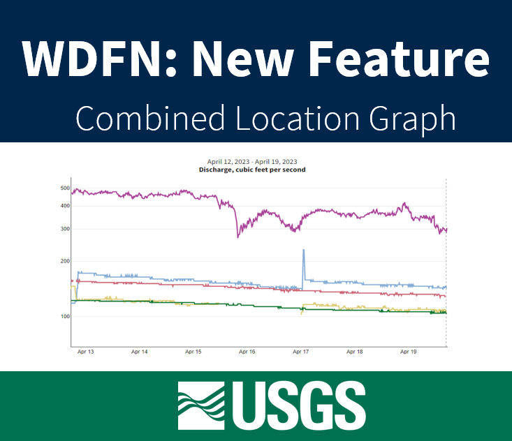
Graphing data for 5 locations on a single graph now available on WDFN
A look into the current and coming soon features available in WDFN. Updated in 2025 to highlight progress and include links to new features